From beautiful towns, to charming castles, landscapes and valleys, you will find an abundance of trails for hiking in Belgium. In this epic post, I have detailed everything from preparing for your first hike in Belgium to over 40 routes that you can enjoy, close to home!

Shot by Canipel De Teut, Zonhoven
Hiking in Belgium: Preparing for hikes in Belgium
If you’re interested in hiking in Belgium, there are an overwhelming number of choices for all experience levels. Belgium has plenty of beautiful varied scenery, and there are hikes of all different lengths and difficulties.
To make it easier for you, I’ve compiled all of my favourite Belgium hikes – so next time you fancy a walk, you’re armed with plenty of options.
I’ve always been a hiker. I prefer to walk 10 kilometers through town than take a bike. In 2011, I walked the Oxfam Trailwalker – a trail through the Flemish Ardennes where you have 30 hours to cover 100 kilometers. It was an unforgettable challenge, and quite a struggle mentally. Let’s just say I definitely hit a wall a few times… including crying and calling for my mom at the 96th kilometer!
But I’d do it again without hesitation – hiking is the only way to really clear my head and forget all about daily worries.
We always try to combine cities with nature on our travels, and there are always some solid hikes involved in any holiday plans. But times are changing, and we’re likely to spend a little more time in our own country over the coming months.
For that reason, I thought I’d write about the best places to hike in Belgium – especially strolling along Flanders’ most beautiful hiking paths, trails near the capital city of Brussels, and the region of Wallonia.
If you wish to read only about hiking in the Ardennes, you can read here.
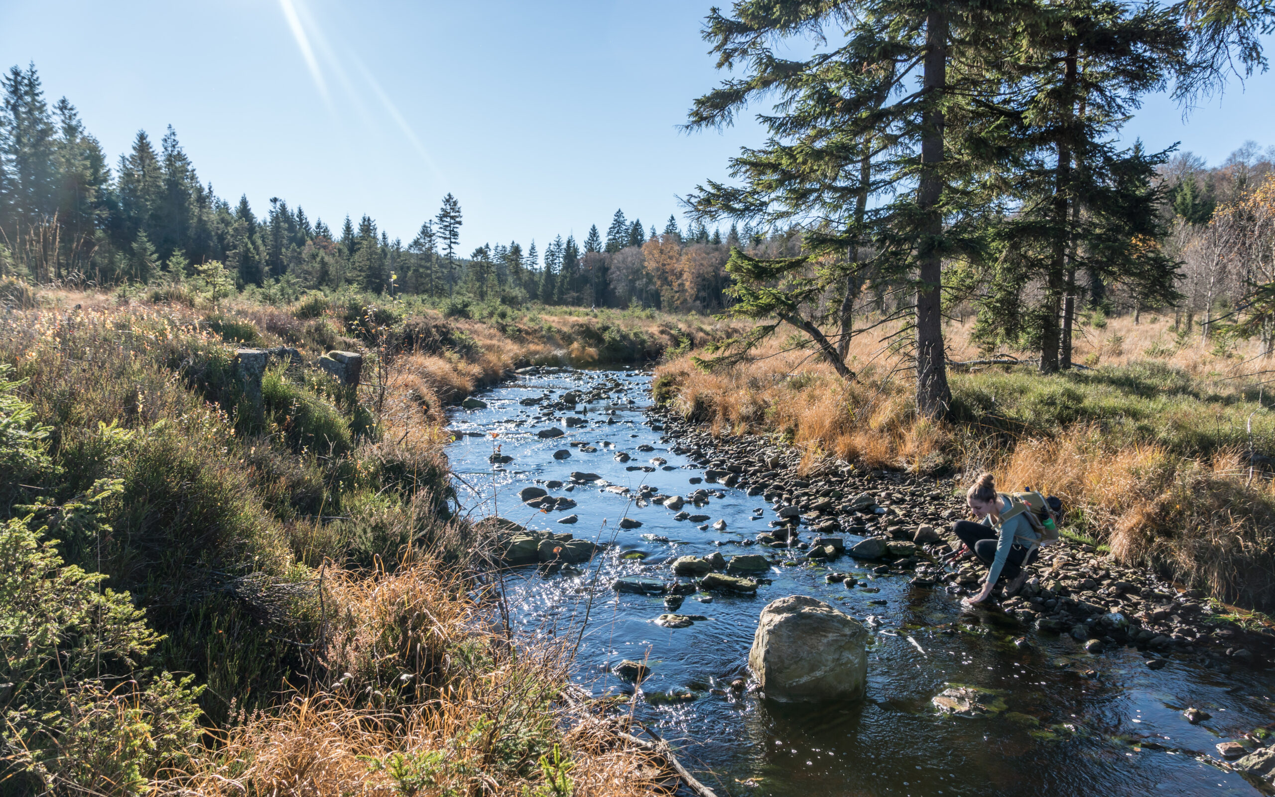
Side note – As we’re currently not allowed out of our houses, I was unable to take pictures of all the hiking trails myself. I asked Jelle from Shot By Canipel for help – he is an old scouts’ friend and a very talented photographer. All the photos in this blog were taken by him. For more of his beautiful work, take a look at his Instagram and Facebook page.
Jelle is also the manager of Gloryus, a travel agency with a mission. His goal is to share experiences and knowledge to inspire active, travel-loving people. The main drive behind the agency is undoubtedly adventure and authenticity.
Emphasis is placed on connecting with the local communities, which is something many of us tend to forget during our trips abroad. Take a look at his website here.
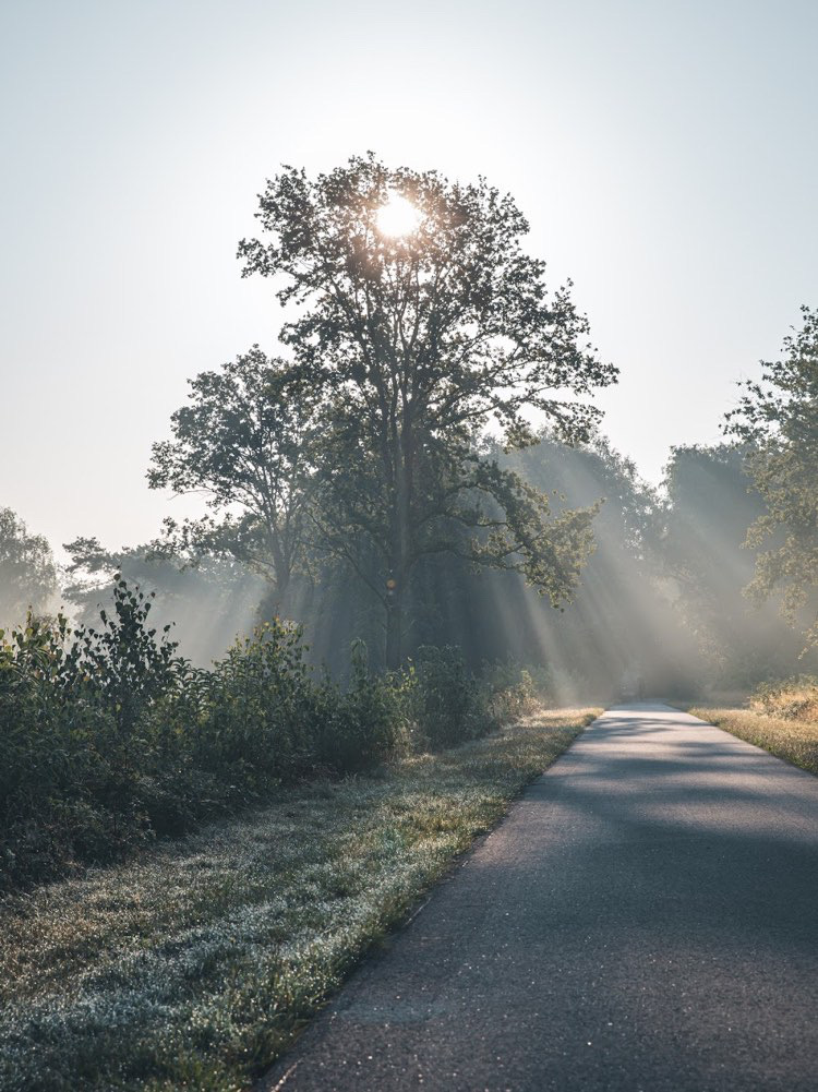
Shot by Canipel De Teut, Zonhoven
Preparing for your hike: Items to carry with you on your hiking trip
Belgium has over 7,440 hiking routes all around the country. Many may not know, but it is heaven for outdoor enthusiasts. These routes are unique from wooded areas, challenging multi-day hikes, to family-friendly nature walks, and cultural trips.
Before embarking on the hiking trails I recommend checking the Tourism website or downloading a map online. I have included starting points in all the hikes I mention here, and wherever possible I have also included links and maps.
Many of the trails are loop-shaped, which means that you arrive back where you started. You can walk all loops in both directions. Trail maps and signs at the trailhead will be color-coded and will have various shapes to signify loops and routes. You will also find information about distances and duration, and of course, starting and end signs on the hiking maps.
Here is what I carry on my hiking trips:
- Store all of your hiking essentials in a nice backpack,
- Lunchbox: For meals on the go
- These lightweight travel cutlery sets are a perfect pairing to your lunch kit. They are plastic-free and reusable.
- Water bottle: Carry a water bottle to stay hydrated on hiking trails
- Quick Dry Towel
- Sunscreen
- Comfortable Hiking Boots: If visiting swampy or wooded area, I recommend wearing waterproof boots
- And don’t forget your camera!

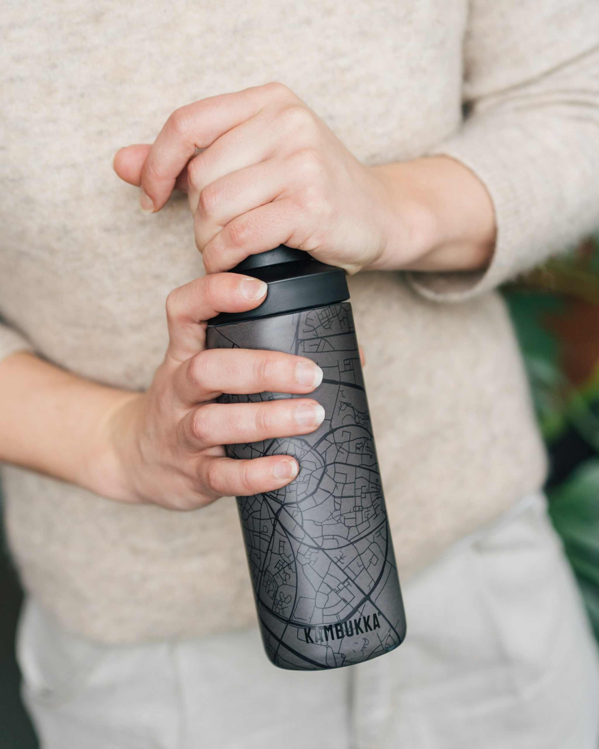

I have mentioned a few hikes in this guide that are multi-day trips (some spanning up to 11 to 14 days, through different provinces). For longer hikes, in addition to the above, carry these extra items
- Overnight camping-related items: They include mugs, fry pan, pour-over, insulated food jars, etc. You can check out options here
- Soaps, shampoo, conditioners
- Skincare products: It is important to take care of your skin on the go, as you move through various dense forests, elevations, swamp areas, and more
- Packing cubes for extra clothing


40 Best Places to Hike in Belgium by province
Hikes in the province of Antwerp
Hoboken Polder
- Difficulty: All skill levels, easy trails
- Length: Starts at 8 km
- Starting Point: Schroeilaan, 2660 Hoboken
- What to expect: Family friendly, bird watching
This is where I mostly go for walks, because my sister lives just around the corner and there’s nothing like a family trip close to home. The AS adventure hike is an 8km hike in the area. It’s great for spotting various birds – you can even see long-haired cows!
The path is well marked and easy to hike, and it’s also accessible for buggies. When rainy, boots are recommended. Dogs are welcome on a leash.
Fort 8
- Difficulty: Easy
- Length: Starts at 8.5 km
- Starting Point: Scheldelei 65-67, 2660 Antwerp
- What to expect: Hike through historic forts
Fort 8 in Hoboken is also worth a try. There’s a walk of 8.5km in a loop past several old Antwerp forts.
Kalmthoutse Heide, Kalmthout
- Difficulty: All skill levels
- Length: Starts at 3 km walk for the visually impaired, 8.5 km for the main loop
- Starting Point: Nature Education Center De Vroente, Putsesteenweg 129, Kalmthout
- What to expect: Woods, dunes, cattle sighting (no dogs allowed)
A beautiful area near the Dutch border. The hiking trail Sheep is an 8.5km walk that takes you past heathland, woods, fens, dunes, the Putse Moer and the watchtower. Sheep and cattle graze within the spring grid – which means it’s partly forbidden for dogs!
The hiking trail Butterfly is a 3km walk for the blind and visually impaired. These are just 2 of the many walks you can take here. They recently added a new 24-kilometer hike. Please note that this walk is not accessible for dogs because it largely runs through the grazing grid.
read next | Antwerp travel guide
Nature Reserve Scheps, Balen
- Difficulty: Easy
- Length: Many hiking trail options, most popular Scheps walk is 10 km
- Starting Point: Halflochtdijk
- What to expect: Nature, bird watching (dogs allowed on leash)
The Scheps Nature Reserve is an open-air museum for nature. Enjoy pristine pieces of priceless nature in an authentic Kempen landscape. You won’t be disturbed by traffic – or any other noise for that matter!
Natural sounds and bird twittering will accompany you on a hike through open fields and meadows, along glistening water pools with many animals. There are eight different super fun hikes to choose from. You can find more information about the walks here.
Street Art Berchem
- Difficulty: Easy
- Length: 11 km
- Starting Point: Berchem train station (also check out platform 6 and 7)
- What to expect: Art and culture
This original walk takes you along the best street art in Antwerp. Discover Berchem’s street art while walking along impressive murals and hidden gems. The route takes you past the workspots of Meeting of Styles, the largest graffiti event in Belgium.
During this annual festival, about 150 artists will work on numerous walls and it becomes one of the longest graffiti walls in Europe. It displays works of art by various international artists, each with its own style and technique.
Download the app Street Art Cities for this 11km walk in Antwerp. (This app takes you to the most beautiful street art around the world – highly recommended wherever you are!)
Schoonselhof
- Difficulty: Easy
- Length: 5 km
- Starting Point: Krijgsbaan 100, 2660 Hoboken
- What to expect: Cemetery – Jewish and Islamic remnants
A slightly more unusual walk through the city’s urban cemetery. It’s not every day you get to walk past monuments of people like La Esterella, Julien Schoenaerts, Peter Benoit, Unkel Bob and Alice Nahon.
At the Schoonselhof you can follow various themed walks that are digitally available via the free Antwerp Museum App. This way you can follow the tour via smartphone with text and images.
The Click
- Difficulty: Easy
- Starting Point: Trix Concert Hall
- What to expect: Musical walk
The Trix Concert Hall’s motto if you can’t go to Trix, Trix will come to you – which is why they created a musical walk. They offer a musical tour through the center of Antwerp, accompanied by more than 35 concert photos taken by 9 different photographers from 2015 to February 2020 (just before they had to close their doors).
If you want to try out this walk, bring your headphones and listen to the artists via the QR codes at the different locations. Order a takeaway coffee from Eat Dust or Hart along the way, and – above all – keep social distancing in mind!
Landschap De Liereman
- Difficulty: Easy
- Length: Around 6.9 km
- Starting Point: Visitor center De Liereman, Schuurhovenberg 43, 2360 Oud-Turnhout.
- What to expect: Natural history, landscapes, views
If you want to discover the quiet Kempen a bit more, there’s nowhere better than the Landschap De Liereman – 100 hectares of nature and one of the oldest nature reserves in Belgium.
Six hikes go from the Visitor Center through Landscape De Liereman. In the Visitor Center, there’s also a permanent exhibition about the unique landscape, the soil, the archeology and the history of the area.
During your walk, you will encounter flocks of sheep and a grazing block of wild horses. The six hikes take you past old peat pits and a varied landscape with heather, dunes and the Kempens’ stable.
Walk past the mysterious Echelkuil and the beautiful Liereman Swamp and discover the wet heaths and dry grasslands.
The area is wheelchair and buggy accessible, and dogs are welcome on a leash. You can find more information about the walks here.
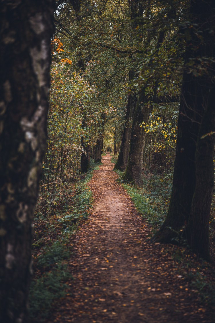
Shot by Canipel, Kempenbroek
Hikes in the province of Limburg
Limburg is where I spent my childhood, and my heart is still overflowing everytime I visit. When I’m back in Limburg it still sparks a feeling of homecoming, with its lovely people, the best bakeries and the most beautiful natural sights.
Sahara, Lommel
- Difficulty: Easy
- Length: From 3 to 12 km
- Starting Point: Event Hall De Soeverein, Sportveldenstraat 10, 3920 Lommel
- What to expect: Sandy landscape, desert views
The Sahara region lives up to its name – a large sandy landscape resembling a miniature desert. But there are also clear blue lakes, heather strips and scented coniferous and deciduous forests. The picturesque landscape and its enormous variety makes hiking here a unique experience. Many species of bird have found a home on and around the water.
The area is quite difficult for buggies and wheelchairs due to the loose sand. Dogs are welcome on a leash. You can do 3 tours in the area – 3, 6 or 12km.
Tip: Hand in your ID at the reception in the event hall in exchange for a hammock in a handy backpack.You can then rest, recline and enjoy the peace and quiet on the water.
Nature Reserve De Teut
- Difficulty: Easy
- Length: 6 km, round trip
- Starting Point: Donderslagseweg 21, 3520 Zonhoven
- What to expect: Valleys, dunes, forests
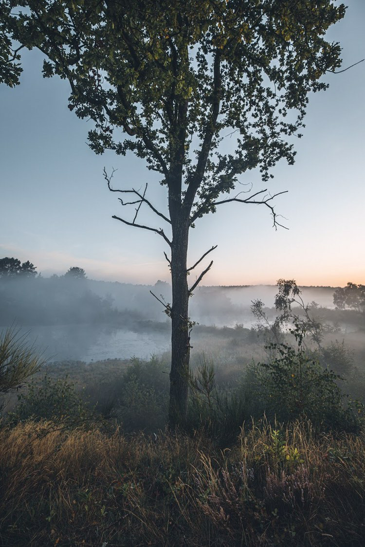
With 2000 hectares, it’s the largest heath area in Central Limburg. The variety of stream valleys, fens, dunes, forests, fields and heathland are the perfect backdrop for a truly beautiful hike. The diligent sheep preserve the heather.
Dogs are allowed on lease.
Mijnterril Beringen
- Difficulty: All skills levels
- Length: Starts at 2 to 31 km
- Starting Point: Parking Flemish Mine museum, Koolmijnlaan 201, 3582 Beringen
- What to expect: Views, mines
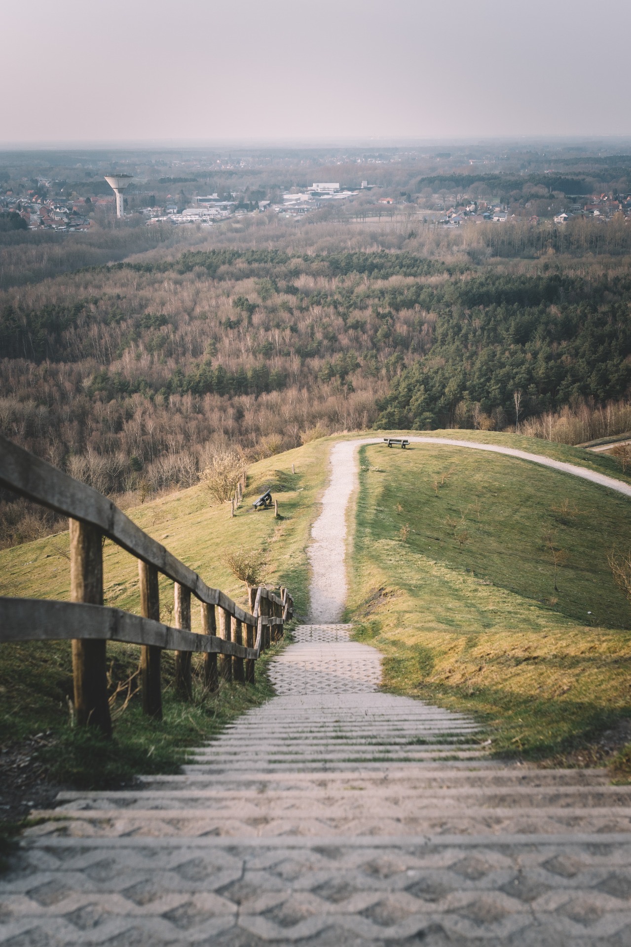
The Mijnterril van Beringen is a living reminder of Limburg’s industrial coal mining past. What used to be a waste mountain of heaped stones is now a hill, where bushes and open spaces alternate.
The space has lots in store for recreation and nature lovers, and during your hike you’ll be rewarded with a magnificent view. It’s a pleasant trip for people and animals alike!
There are hikes that are 2, 4 or 31 km long. Click here for more details.
Hoge Kempen National Park
- Difficulty: All skills levels
- Length: Starts at 3 to 14 km (longest walk is about 72 km 3-4 day hike)
- Starting Point: One of the 6 entrance gates of the National Park
- What to expect: Peaks and panoramic views
Nature in all its glory!
The National Parc is a unique nature reserve where more than 12,000 hectares of forest and heather are managed and protected. The area extends over the municipalities of As, Bilzen, Bree, Dilsen-Stokkem, Genk, Lanaken, Maaseik, Maasmechelen, Oudsbergen and Zutendaal. Extensive pine forests are interspersed with purple-flowering heather and dunes.
Large puddles testify to the gravel and sand extraction, and the many high peaks offer great panoramic views.
Are you feeling adventurous? The park contains more than 220 km of hiking pleasure.
Around 51 loop-shaped hikes from 3 km to 14 km lead you along the most beautiful spots in and around the Hoge Kempen National Park. It’s best to start at 1of the 6 entrance gates. More information on the website.
Street Art in Hasselt
- Difficulty: Easy
- Length: 3.5 km
- Starting Point: Hasselt Center or Tourism Office after you pick up the map!
- What to expect: Art and culture
This 3.5 km walking trail takes you along the most beautiful street art in the city. As I mentioned previously, download the Street Art Cities app to truly make the most of it!
Connecterra, Maasmechelen
- Difficulty: Easy
- Length: Starts at 2 km
- Starting Point: Zetellaan, 3630 Maasmechelen (Eisden)
- What to expect: Perfect for nature lovers – mountain, lakes and views!
The Eisden coal mine was still running here at full speed nearly a quarter of a century ago. Today, however, the landscape looks completely different – you can enjoy a surprising landscape of mountains and lakes with spectacular panoramas.
The name ‘connecterra’ is a combination of the words ‘connect’ and ‘terra’ (earth). It gives a clear reference to its mining past, but it also indicates a new mission – to guide its visitors and walkers back to connect with Earth and Mother Nature.
Six different walks (2, 4, 7, 11 or 13km, all well marked with colours) let you discover the beautiful domain. Entrance: 3€ per person.
Bosland
- Difficulty: Easy
- Length: Many long distance hikes, starting at 72 km to 130 km
- Starting Point: Various. View the different walks on the website
- What to expect: Sandy routes, beautiful landscape
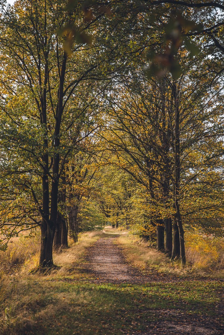
This hiking network extends over the 4 Bosland municipalities (Hechtel-Eksel, Lommel, Peer and Pelt), and connects well-known hiking areas with newly discovered spots throughout Bosland.
More than 70% of the routes are on quiet sandy roads. You can create your own route or opt for a suggested loop. Thanks to the hiking network, you are guaranteed to enjoy the beautiful landscape!
Border Park Kempen Broek
- Difficulty: All skill levels
- Length: Longest at 104 km
- Starting Point: Parking lot (s). 10 different loops/routes. View maps here
- What to expect: Best of nature and culture!
On the border of both Limburg and North Brabant lies the GrensPark Kempen Broek. It’s a 25000 ha area that alternates wet with dry, open with closed, nature with culture. It extends over the municipalities of Cranendonck, Weert, Nederweert, Bocholt, Bree, Kinrooi and Maaseik.
The Kempen Broek reveals a true mosaic of landscapes. It combines swamps, brook valleys, fens, forests, moors, hay meadows, meadows, fields and large-scale agricultural areas.
In short there’s something for everyone, with water as a central theme. Many rare plant and animal species feel at home here – there are very few places in Benelux that have as many types of dragonfly! The beaver also returned a few years ago, and with a bit of luck you can even see a red deer.
You can explore the Kempen Broek in countless ways – you can hike, cycle, mountain bike, horse ride and even drive. You can find more information about the wide range of walks here.
Voeren
- Difficulty: All skill levels
- Length: 8.5 km
- Starting Point: St. Martinuskerk, Kerkstraat, Sint-Martens-Voeren
- What to expect: Villages, amazing views
The region of Voeren lies as an enclave between the Netherlands and the province of Liège and are literally the highlight of Flanders. With its hills, valleys and expansive views, fast-flowing rivers and picturesque villages, it is a real walking paradise.
Tip: The “bronnenwandeling” walk is 8.5 kilometers long and shows you the true beautiful of the region.
Shot by Canipel, Bosland
Hikes in the province of Flemish Brabant
Province Domain the Vinne
- Difficulty: All skill levels
- Length: Around 7.5 km (1 hour 30 minutes hike)
- Starting Point: Ossenwegstraat 70 – 3440 Zoutleeuw
- What to expect: Bird watching, watchtower; also great for those with reduced mobility
For a hike around the largest natural inland lake in Flanders, you have to go to Vinne. Discover the enormous diversity of water-related fauna and flora along bat trails, shelters and observation towers.
There are 5 marked nature hikes throughout the domain, which has a watchtower and several bird-watching huts. There is a beautiful playground, which is accessible for people with disabilities.
Take note – Het Vinne is currently being pumped out. The bottom of the natural inland lake is being cleaned up due to the current quality of the water being bad for the plants and animals.
Hallerbos, Halle
- Difficulty: All skill levels
- Length: Starts at 2 to 7 km
- Starting Point: Hogebermweg (P1) – 1500 Halle
- What to expect: Forested area, great for spring hikes
This forest is a crowd pleaser thanks to the beautiful purple carpet of wild hyacinths, which bloom around mid-April. The varied landscape provides wonderful hiking opportunities and makes a visit to this forest more than worthwhile.
There are 2 marked hyacinth walks in the forest (from April 14) – a 4.8km walk starting at Parking 1 (Hogebermweg) and a 5.1km walk starting from Parking 8 (Achtdreven).
Besides the hyacinth trails, there are three other beautiful hikes, of 2, 4 or 7 km.
Shot by Canipel De Teut, Zonhoven
Hikes in the province of East Flanders
Boerenkrijg Trail, Berlare
- Difficulty: All skill levels
- Length: Starts at 4.5 to 6.5 km
- Starting Point: Donklaan 123, 9290 Berlare
- What to expect: History and nature
The Boerenkrijg is a historical event that gave Overmere a place in the history books. During a pleasant hike, you can discover more about the past of the Farmers’ Martial Park and its surroundings.
The entire hike is about 6.5 km, or you can take a shorter loop of about 4.5 km.
Tip: Download the free ‘Erfgoed app’. Click on the orange circle with the compass and download the Farmers’ War walk.
Hikes in the province of West Flanders
Tillegembos, Bruges
- Difficulty: All skill levels
- Length: Starts at 2 to 12 km
- Starting Point: Tillegemstraat 85, 8200 Sint-Michiels
- What to expect: Woods, and historical gems
Tillegembos is a provincial domain in Sint-Michiels, a sub-municipality of the city of Bruges. Deciduous and coniferous forests, hays and recreational meadows, a historic castle, a castle farm, a beautiful chapel… it truly has something for everyone.
You can choose from three beautiful hikes of 2, 3 or 12 km.
Kemmelberg, Kemmel
- Difficulty: All skill levels
- Length: 8 km
- Starting Point: Tourist Office, Sint-Laurentiusplein 1, 8956 Kemmel
- What to expect: Hilly terrain, amazing views
During an 8 km hike, discover the surroundings of the Kemmelberg, Flanders’ highest mountain (156m) and key point in many Classic Flanders Cycle competitions. The landscape is very hilly and offers endless views.
Start in the village area of Kemmel (Heuvelland) and walk to the foot of the ridge via the municipal domaine De Warande. You will continue along field roads to Monteberg (131m), where it goes steeply uphill to the top of the Kemmelberg.
A unique panorama awaits beyond. On the way back, you’ll walk along the wooded sides of the ridge.
GR 5
- Difficulty: Mostly easy
- Length: Main route is 251 km, with many routes and various turnaround points
- Starting Point: You can find more information about this here
- What to expect: Flat terrain, fields, abbey, fortress
The path initially started in Bergen-op-Zoom, but later Hoek van Holland became the official starting place. GR 5 is part of the European walking route E2 (Scotland – Nice).
Beyond Eben-Emael, follow the High Fens and the Ardennes. After the Luxembourg Moselle valley, the GR 5 enters France. The white-red ribbon winds successively through Lorraine, the Vosges, the Jura, the Savoie, the Hautes-Alpes, the Alpes de Haute-Provence and the Alpes-Maritimes to Nice.
Of course, you can also just walk part of the GR 5.
Shot by Canipel Mijnterril, Beringen
Hikes in/around the Brussels-Capital Region
Brussels-Capital Region is one of the three regions in Belgium. In this section, I will share the top 5 hikes near Brussels.
Solvay Domain and Hulpe Castle Trail
- Difficulty: Easy to Medium
- Length: Starts at 5 km (short) to 12 km (long) loop trail
- Starting Point: Solvay Domain. Detailed routes can be found here
- What to expect: Nature trips, historic site
There are various trails that you can embark on at the Solvay Domain, and the Castle of La Hulpe grounds. The castle is beautiful, and one of the treasures of Belgium. The trails can be used for hiking, walking, and running, and are wonderful during the autumn months. Dogs are allowed on leash.
Shorter trails are at 5 km, and 12 km for longer trails.
GR 126 – Brussel-Namur-Membre sur Semois
- Difficulty: Mostly easy
- Length: 14 km. Or 224 km full route with various turnaround points
- Starting Point: You can find more information about this here
- What to expect: City and town highlights
This is one of the longer hiking routes spanning 11 days, to complete 224 km. It starts in Brussels, and ends in Membre-sur-Semois.
If interested in the shorter 14 km, start in north of Brussels, in Brussegem and end in Brussels. This route has Belgian towns, and the best of the capital city.
Hiking in Het Moeraske, Evere
- Difficulty: Mostly easy
- Length: 4 to 5 km
- Starting Point: Haren-Sud train station
- What to expect: Swamp area, parks, gardens
Evere is a part of Brussels Capital Region. And ‘Moeraske’ is Flemish for ‘small swamp’. Did you know that Brussels was a big swamp area once upon a time? Today only the Het Moeraske – swamp remained.
In this trail, you will find swamps, woods and a little hilly terrain.
To start the hike, head to Haren-Sud by train, and then get off at the platform and walk back in the direction of Brussels. You will slowly reach an area that looks like a forest, which is the nature reserve ‘Het Moeraske’, located in the commune of Evere.
From Het Moeraske, you can make a little detour to the Goede Herderpark, a park with a children’s playground, and a forested area. Reach to the train tracks to continue in the direction of Schaerbeek, and after a series of gardens you would have concluded the walk.
Promenade Verte Brussels – The Green Walk
- Difficulty: Mostly easy
- Length: 5 to 12 km.
- Starting Point: Download the map here
- What to expect: Varied landscapes
Promenade Verte is a 63 km loop around Brussels (like a Ring Road) which takes in parts of the Sonian Forest, the Woluwe valley, the Pajottenland, and various forests, lakes and parks on the way.
The entire route is split into 7 sections, and you can hike trails of 5 to 12 km, that cover a multitude of landscapes, such as green parks, cities and villages, and more.
Genval Lake Loop
- Difficulty: All skill levels
- Length: 2.4 km
- Starting Point: Lake Genval
- What to expect: Lake views
Lake Genval is a lake situated in the southeast of Brussels. The lakeside is a popular vacation destination, and is surrounded by turn-of-the-century homes.
The 2.4 km trail is mostly used for hiking, running and biking. It is very picturesque to embark on this route. And once the loop is done, head to the Chateau du Lac, a five-star hotel, restaurant and bar, located on the southside of the lake.
Shot by Canipel Mechelse Heide
Hikes in the province of Luxembourg
The heart of the Belgian Ardennes lies in the south of the province of Luxembourg. In this province you will find a variety of cycling and hiking paths that will allow you to enjoy this country and the Ardennes to the fullest.
Les Échelles de Rochehaut
- Difficulty: Moderate to Experienced
- Length: 5 km
- Starting Point: Start the ladder walk at the church of Rochehaut
- What to expect: Semois Valley views
The ‘ladder wandeling’ walk is the most spectacular and the most famous in Belgium.
In this 5 km long hiking route, you will get to enjoy the beautiful views over the valley of the Semois. The hike, although only 5 km, could take you up to 3 hours. Find the map of the walk here.
Nadrin – The Hérou – Natural Park of the two Ourthes
- Difficulty: Easy to Experienced
- Length: 2 – 13 km, various trails
- Starting Point: Place du Center, 4 – 6660 Nadrin
- What to expect: Valley views
The rock formation of Le Hérou with its steep cliffs overlooking the meander of the Ourthe near Nadrin, offers over 15 different hiking options. It has something for everybody – for all skill levels of hikers.
These hikes welcome you to stunning views over the valley. The entire site is classified as a Natura2000 site and is on the list of exceptional heritage of the Walloon Region.
Saint Hubert Forest
- Difficulty: All skill levels
- Length: Short to 3 day long backpacking hiking trails and trips
- Starting Point: Givry Village
- What to expect: Small towns, wooded areas, deer sighting
The large Forest of Saint Hubert is spread across 10 different communes in the Ardennes. Starting point for most hikes at the Saint Hubert Forest from the village of Givry, which takes you through small villages and valleys; and welcomes you to stunning views.
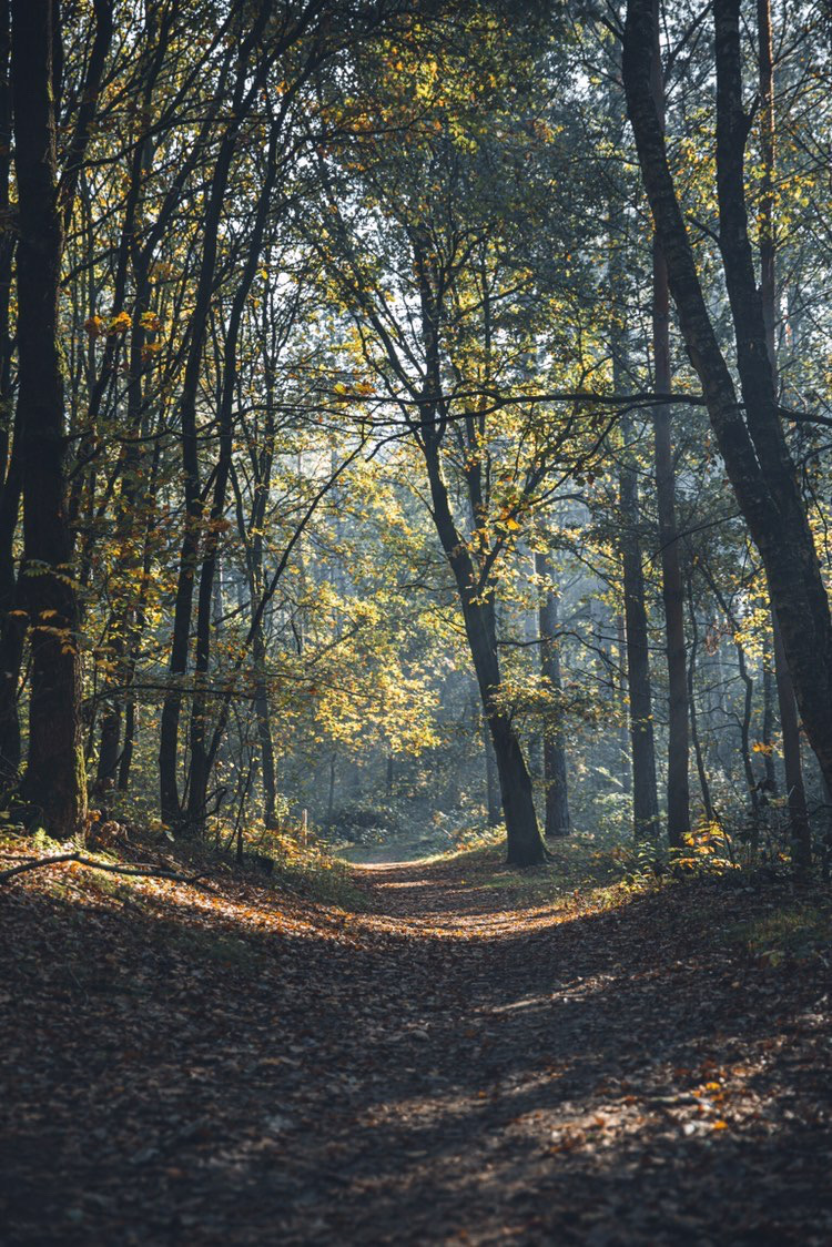
Shot by Canipel Mijnterril, Beringen
Hikes in the province of Liege
Ninglinspo Hike
- Difficulty: Easy to moderate
- Length: 14 km, or turnaround at 6 km
- Starting Point: Auberge du Ninglinspo, Sedoz 5, 4920 Sougné-Remouchamps (Aywaille)
- What to expect: Family friendly, scenic landscapes
Ninglinspo Hike along the only mountain river in Belgium is by far one of the most beautiful hikes in the Belgian Ardennes. You can opt for either the short family hike of 6 kilometers, or take the longer 14 kilometers trail.
The hike takes you through the Aywaille, an astonishing part of the Belgian Ardennes, and the Remouchamps region, which is a beautiful green hilly piece of nature in the south of the country.
Hautes Fagnes Eifel Nature Park
- Difficulty: Easy – Moderate. Varied.
- Length: Start at 7 km+
- Starting Point: You can find more information about this here
- What to expect: Nature park
This is Belgium’s oldest and largest nature reserves. High Fens or Hautes Fagnes is filled with amazing hiking trails – about 39 in total, from the highest part of Belgium, with points culminating at 672 m (Baraque Michel) and 694 m (Signal de Botrange) with amazing views.
To the south of the area, lies the Upper Eifel, which is filled with high wooded hills, man-made lakes, and the picturesque Ur Valley.
Signal of Botrange
- Difficulty: All skill levels
- Length: Starts at 4.9 km
- Starting Point: Route de Botrange 133, 4950 Robertville
- What to expect: Nature reserve Hautes Fagnes or High Fens, scenic views, highest point in Belgium
At 694 meters high, the Signal of Botrange is the highest point in Belgium. It is the starting point for many walks.
All trails are well marked and accessible for all levels of hikers.
Les Sources Natural Park
- Difficulty: All skill levels, mostly moderate level with elevation
- Length: 7.2 to 22.5 km (moderate trails)
- Starting Point: Sources Natural Park
- What to expect: Forested, elevation
There are around 31 trails at the Sources Natural Park. It is widely used for hiking, running and embarking on easy walking trails. Moderate trails in Sources Natural Park range from 7.2 to 22.5 km with elevation points as well.
The whole area of the park is full of dense forests, and water is present in all forms here at the Sources Natural Park, totalling a length of 300 km.
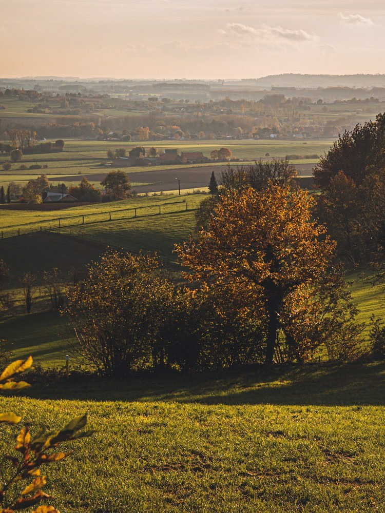
Shot by Canipel Kwarremont, Oost-Vlaanderen
Belgian Ardennes Hiking in the province of Hainaut
Hainaut is an undiscovered region in Belgium, with a wide variety of natural beauty, industrial heritage and architectural treasures.
Ellezelles
- Difficulty: Easy
- Length: 5 km
- Starting Point: Ruelle des Écoles, 7890 Ellezelles
- What to expect: Family friendly, culture & nature
Ellezelles trail takes you on a 5 kilometer hike, where you can discover the beautiful landscape of the Pays des Collines, and bring back old legends and fables to life.
Bois De la Haye du Roeulx
- Difficulty: Easy
- Length: 8.5 km (entire loop)
- Starting Point: Grand Place of Le Roeulx
- What to expect: Culture & nature
La Haye du Roeulx is the forest area located in the northeastern part of the municipality. This hike starts and ends at the Grand Place of Le Roeulx.
Campagne de Flobecq
- Difficulty: Easy
- Length: 8.5 km (entire loop)
- Starting Point: Kiosque à musique Place 7880, Flobecq
- What to expect: Nature, strolls
Campagne de Flobecq is a 8.5 kilometer loop trail in Flobecq. It is an easy trail and is perfect for casual walking.
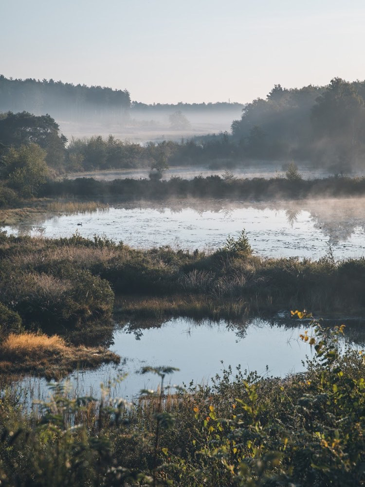
Shot by Canipel De Teut, Zonhoven
Hikes in the province of Namur
Parc de Furfooz
- Difficulty: Easy
- Length: 4 km
- Starting Point: 79 Rue du Camp Romain, Furfooz
- What to expect: Family friendly, castle views
Located in the province of Namur is the beautiful town of Dinant, and the valleys of the Sambre and the Meuse.
The park of Furfooz is located in the valley of the Lessee, near Dinant. This park is well-maintained by sheep, and you can enjoy a pleasant family hike of about 4 kilometers.
You can combine a visit to the castle of Cells-Vêves along with the park hike. There is an entrance fee of 4 euros for adults, 2 euros for seniors and children under 25 years to access the site.
The castle welcomes you to its five magnificent towers, beautiful paintings, the rare porcelain and the amazing authentic 18th-century old furniture awaits you inside.
Fondry des Chiens – Nismes Hikes
- Difficulty: Easy
- Length: 9 km
- Starting Point: Fondry des Chiens
- What to expect: Family friendly
This is a 9 kilometer hike in Namur. It is a nice way to spend a quiet afternoon among glistening ponds and old factories at the Fondry des Chiens.
The hike opens up a world of geological wonders – landscapes that were created by rainwater seeping through the limestone soil over millions of years ago.
These created gigantic pits of over 20 meters deep, are called Foundries, and they were caused by erosion.
read next | THE 21 MOST BEAUTIFUL PLACES IN BELGIUM TO VISIT
Additional help – advice for hiking with a baby
Jelle, the talented photographer who took the photographs in this blog, often goes out with his family for the most beautiful hikes in and outside the country. Their daughter has been on adventures since she was a baby.
If you have a young family and want some advice on hiking with children, here are some top tips based on his experience:
- Make sure you leave on time!
- Check the baby’s meal times and plan in advance where you will take any breaks
- Ensure you check the distance and access carefully
- Buggies cannot drive everywhere, so check in advance whether or not you will be able to use them
- Baby carriers: Babies up to about nine months can be transported in a baby carrier. This is a practical solution that allows you to set your own pace, but it’s less suitable for excessive hikes of multiple hours.
- In cold weather: Babies love to be carried – they feel safe, and it’s a great way to keep them warm. But when you’re moving and they’re still, they can easily become chilly. It’s best to dress your baby in an additional layer, along with a hat as most heat is lost through the head. In winter, opt for a romper with long sleeves, a cardigan or sweater, long pants, socks (and slippers), a (winter) jacket and a hat. Ensure the clothes are comfortable for your baby – buttons, zippers and hoods aren’t always comfortable.
- In warm weather: Don’t dress your baby in clothes that are too thick. A baby’s sweat glands aren’t well developed yet, so they can’t cool down by sweating. In hot weather, go for something like a romper and a sun hat. In warm weather, choose a romper with one layer of airy cotton clothing, possibly a sun hat and cotton socks.
- Feel your baby’s neck every now and then. If the skin feels pleasantly warm there, you can assume that their temperature is fine.
- Bring a change of clothes and diapers with you (and a closable pouch to put the diaper in to minimise the odour for the rest of the walk!)
So you see Belgium has so many high quality hikes covering castles, highest points in the country to nature parks. Do you have a personal favorite? Do let me know in the comments!
Pin: 40 Best Hiking Trails in Belgium



That one in Zonhoven looks so amazing! I can’t wait to go out again and explore!
Same here Charlotte! Thank you for reading!
Great post – and beautiful photographs! Belgium never would have come to mind for great hiking, but I am definitely interested in seeing some of these spots now! Thanks sharing!
Thank you so much for reading Jade!
Wow there are a lot of options here. I would love to explore atleast some of them .that’s a great post
Thank you so much for reading!
schitterend !!!!
proficiat !!
jullie moeten asap een natuurwandeling komen maken in Diepenbeek , recent heel mooie dingen ontdekt tijdens” Corona ”
xxxx
Zo lief! Zullen we zeker doen… We kijken er naar uit!
Geweldige website, heb heel wat wandelingen ontdekt die ik nog niet ken. Heel duidelijk en informatief opgesteld. Ik volg jullie met veel interesse !
Dag Cindy, wat een lief berichtje, heel hard bedankt!